
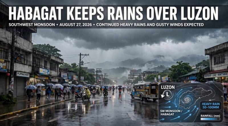
Habagat Keeps Rains Over Luzon as PAGASA Warns of Wet Conditions Through Aug. 28
The southwest monsoon, or habagat, continues to drive wet weather across parts of Luzon, with PAGASA forecasting occasional rains in western areas and scattered rainshowers and thunderstorms elsewhere through Aug. 28.
Table of Contents
01 Event
PAGASA’s weekly outlook says Zambales, Bataan and Occidental Mindoro are likely to experience occasional rains from Aug. 26 to 28 because of the southwest monsoon. Metro Manila, the rest of Luzon, Western Visayas and the Negros Island Region are expected to remain cloudy with chances of scattered rains and thunderstorms.
02 What Changed?
The latest verified weather information does not support claims that a new low-pressure area has necessarily entered the Philippine Area of Responsibility. The confirmed story is the continued influence of habagat and the persistence of rain over areas already affected by recent flooding.
PAGASA’s city outlook also points to wet conditions in Metro Manila, Laoag, Olongapo and several Luzon locations into the weekend. Weather conditions can change quickly, so localized thunderstorm and flood advisories remain important even when no tropical cyclone is directly affecting an area.
03 Why It Matters
Repeated rain over already saturated ground increases the risk of flash floods, landslides, road disruption and delayed travel. Residents in flood-prone areas may face renewed water accumulation even when rainfall is not continuous throughout the day.
The practical impact also extends to schools, workers and transport operators. Several local governments have already suspended in-person classes because of expected heavy rain, and additional localized decisions may follow depending on conditions.
04 What It Means for You
People in western Luzon and low-lying parts of Metro Manila should monitor PAGASA advisories and local government announcements rather than relying solely on social-media weather posts. If your route regularly floods, allow extra travel time and avoid crossing moving floodwater.
For households in repeatedly flooded communities, the important distinction is between a national forecast and a local warning. A general forecast may say scattered rains, while a thunderstorm over one watershed can still produce dangerous flooding in a short period.
05 Numbers + Context
PAGASA’s Aug. 21 weekly outlook covered conditions through noon on Aug. 28. It specifically identified Zambales, Bataan and Occidental Mindoro for occasional rains and said Metro Manila and much of Luzon could experience scattered rains and thunderstorms during the Aug. 26-28 period.
Related Earnyx reading: Repeated weather disruption can also change the real cost of getting to work. See How Much Is Your Commute Really Costing You? for a broader look at transport time and expenses.
Source: DOST-PAGASA Weekly Weather Outlook and selected-city forecasts, accessed Aug. 27, 2026.
06 Earnyx Takeaway
The useful weather story today is persistence, not a dramatic new storm headline. Habagat is keeping rainfall risk elevated across parts of Luzon, and recent flooding means even another round of moderate-to-heavy rain can matter. Watch the official local warnings, because those determine the immediate risk more accurately than a broad national forecast.


Pingback: Marikina River Hits Third Alarm as Habagat Rains Continue
Pingback: Visayas Grid Red and Yellow Alerts: Power Supply Risk
Pingback: Metro Manila Flooding Subsides After Habagat Rains
Pingback: Second Tarlac Bridge Collapses After Habagat Rains
Pingback: El Niño Disrupts Food, Shipping and Commodity Markets
Pingback: Europe Counts the Economic Cost of Extreme Heat